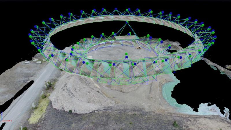
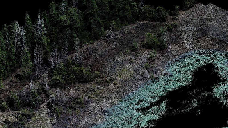

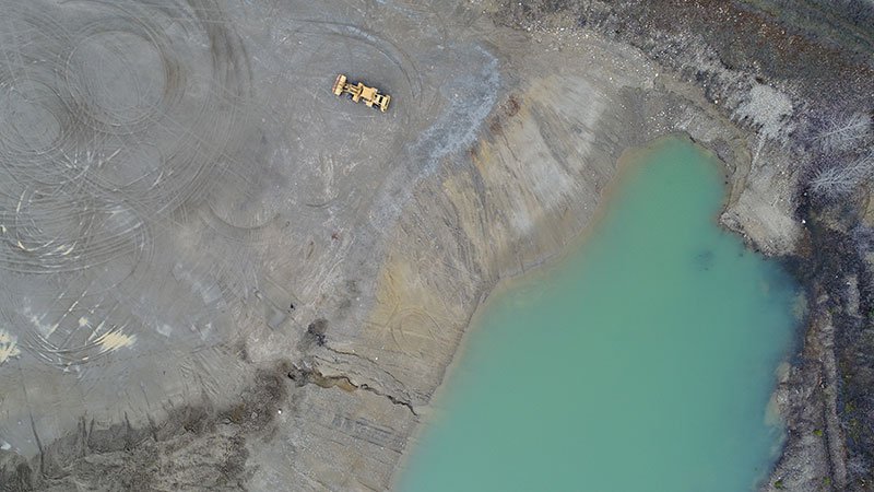
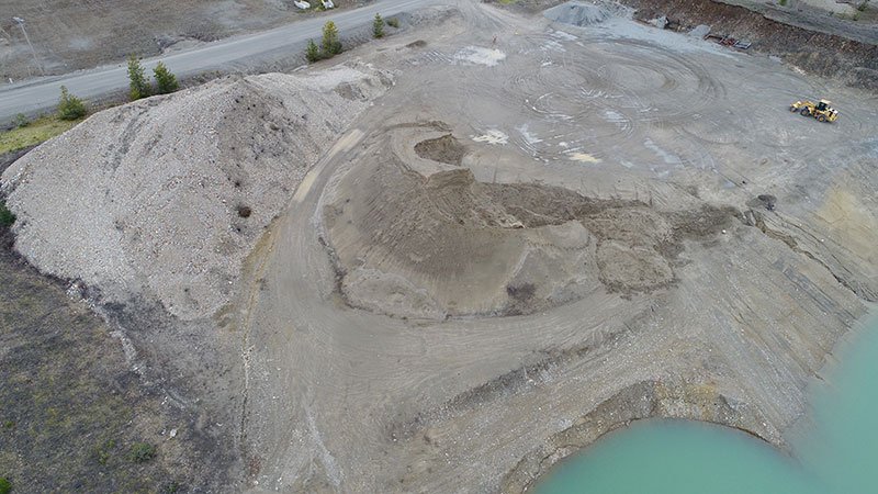
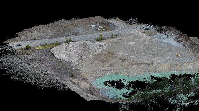
A Glahe survey crew utilized a combination of GPS RTK and a UAV Drone to survey a local gravel pit site. After surveying the area, we were quickly able to process the flight data and start computing volumes of the gravel stockpiles at the site. We can also calculate the capacity of the water holding area to report how much additional water it will hold before breach. Survey data that would normally take much longer to collect can now be captured in a fraction of the time.